What Causes Earthquakes?
Earthquakes are the release of Energy
Vibrations inside the earth
Have you ever wondered what causes earthquakes? Earthquakes are vibrations inside the Earth that follow the release of energy that has built up inside rocks. Rocks fracturing, volcanoes erupting, and man made explosions can all release the energy stored in the rocks creating seismic waves.
Faults are cracks in the crust
Faults are cracks in the crust of the Earth where the earth is moving apart, coming together, or slipping past each other. Each of these movements on the surface of the earth cause earthquakes.
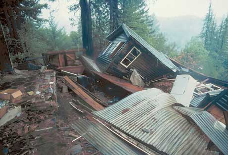
Home near the epicenter of the 1989 Loma Prieta earthquake . USGS
P waves & S waves
P waves
All earthquakes produce P waves and S waves. P waves compress and expand the rock particles as they travel through solids, liquids and gases. P waves are the first to arrive at reporting stations letting seismologists know an earthquake has occurred. Shortly after the P waves have arrived seismographs record the arrival of S waves.
S waves
S waves are transverse waves that travel at a slower rate as they move through the solid rocks in the body of the Earth. S waves are transverse waves because they move back and forth in a wavy motion as they move forward through the body of the Earth.
Determining the location of an earthquake
Scientists use difference in the the arrival times of the two sets of seismic waves to determine the location of an earthquake. Using this data scientists can deter what causes earthquakes in the region.
Earthquake Zones
Tracking location of earthquakes
Scientists began tracking and pinpointing the location of earthquakes using data from seismograms. A seismogram is a recording of the ground motion of an earthquake by a seismograph. They found that earthquakes occurred in earthquake zones that outlined the tectonic plates on Earth.
Formation of mountain ranges
When two continental plates collide they form mountain ranges between the plates as the rocks are compressed. The Himalayan Mountains are an example of the Indian Plate and Eurasian Plate colliding.
Pacific Ocean is shrinking
Around the Pacific Ocean are subduction zones where an ocean plate is forced beneath a continental plate or a younger oceanic plate. As the Pacific Plate subducts beneath other tectonic plates it is growing smaller.
The Atlantic Ocean is increasing in size
The Atlantic Ocean is a divergent boundary where new oceanic crust is forming. The Atlantic Ocean is increasing in size as the Pacific Plate decreases in size. All of these plate movements create earthquakes zones at plate boundaries.

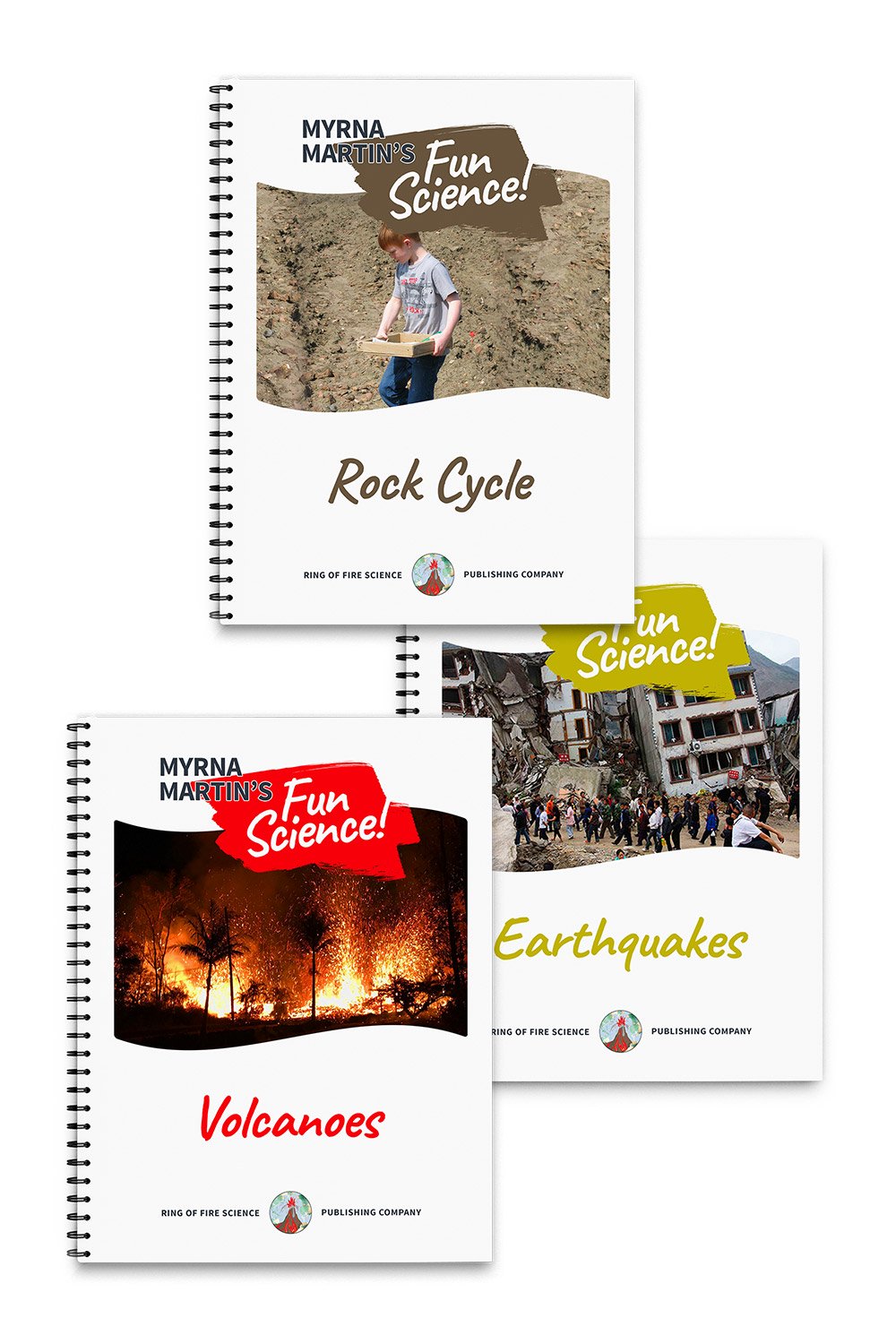
I am recommending this book for kids who would like to learn more about what causes earthquakes. Each chapter in the book has both material to read and a fun science activity about earthquakes. You will learn about great tsunami generating earthquakes as well as earthquakes so small they are not felt by people. Myrna
Click for More Information and to Order
Location and size of an Earthquake
Seek shelter during an earthquake
If you suddenly feel the start of an earthquake you should
seek a safe place immediately until the earthquake is over. After the
earthquake, you might wonder what causes earthquakes where you live. You might also wonder where is the location of this earthquake and size of the earthquake.
Finding the epicenter of an earthquake
Scientists use data from seismographs at three reporting stations to answer these questions. They determine the location of an earthquake by using data from three different seismographs at reporting stations. The people at the reporting station determine the distance from the reporting station in the lag time between the arrival of P waves and S waves at their seismograph.
Three reporting stations after an earthquake
Data is used from three different reporting stations to draw circles on a map. The center of each of the three circles is the location of the reporting stations. The radius of the circles shows the distance the
earthquake is from the reporting stations. The point where the three circles
intersect on a map is the epicenter of the earthquake.
Determining the size of an earthquake
The size of an earthquake is determined by the height of the
largest wave recorded by a seismograph on a seismograph. The highest wave is used as the magnitude of an earthquake.
San Andreas Fault
Faults are cracks in the crust
Faults are cracks in the Earth's crust where pressure of plate movement causes the movement of the earth up, down or sideways between tectonic plates. The San Andreas Fault is a transform fault that extends about 1,200 kilometers through California. It forms the tectonic boundary between the Pacific Plate and the North American Plate.
Right-lateral strike-slip fault
If you stand on the Pacific Plate and look across to the North American Plate it looks like the land has moved to the right. Scientists use the term right-lateral strike-slip fault for this type of movement on a fault line
KIDS FUN Science Bookstore
Check out Myrna Martin's award winning textbooks, e-books, videos and rock sets. The Kids Fun Science Bookstore covers a wide range of earth science topics. Click here to browse.


